Tourism & geography
Districts and Gulu City
The districts and cities of the Acholi sub-region. Open any of them for its people, its economy, what it is best known for and where to go.
- 2,044,355
- People in the sub-region (2024 census)
- 9
- Districts and cities
- 28,229 km²
- Combined area
- Agago
- Most populous
Explore
Choose a district
 Gulu CityCity
Headquarters: Gulu City
The primary urban centre of the Acholi sub-regionRegional headquarters of the sub-regionSeat of the Ker Kwaro Acholi, with the Paramount Chie…
233,271people—km²2020city since
 Gulu District
Headquarters: Gulu City
Regional headquarters of the Acholi sub-regionA district made up of Aswa County and, before the cit…More than 90% of residents have returned to their vil…
135,373people3,452km²—created
 Agago
Headquarters: Agago
The most populous district of the sub-region in the 2…The Agago hills and the River Agago, whose headwaters…Home to the Ajali Lukole and Adilang chiefdoms
307,235people3,497km²2010created
 Amuru
Headquarters: Amuru
A predominantly rural district with very fertile landCreated from Gulu District in 2006
247,574people3,626km²2006created
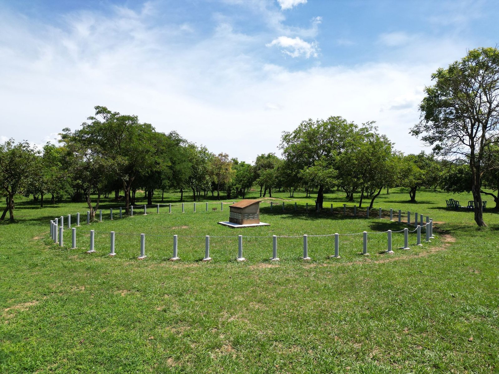 Kitgum
Headquarters: Kitgum
The birthplace of Archbishop Janani Luwum, born at Mu…The home district of Dr. Matthew LukwiyaThe Orom-Cross graphite project, about 75 km north-ea…
239,655people3,960km²—created
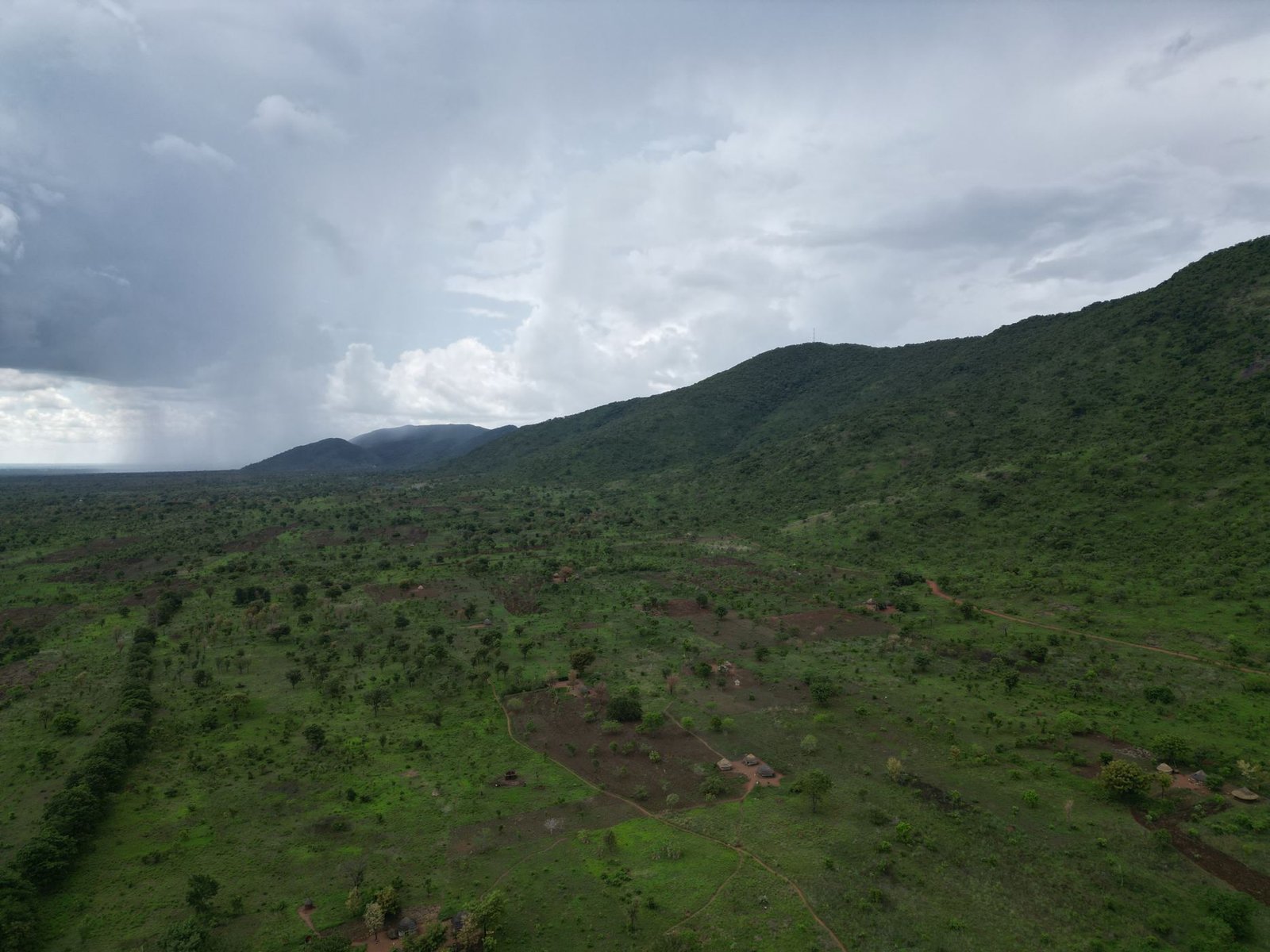 Lamwo
Headquarters: Lamwo
The largest district of the sub-region by areaBorders South SudanHome to the Agoro Pudir chiefdom
213,156people5,596km²2009created
Nwoya
Headquarters: Nwoya
Wildlife, including elephantsCrude oil deposits found in the district since 2013Created from Amuru District in 2010
220,593people4,736km²2010created
Omoro
Headquarters: Palenga
The Kampala–Gulu road runs through the districtThe home district of the late Speaker of Parliament J…The newest district of the sub-region
207,339people—km²2016created
Pader
Headquarters: Pader
Aruu FallsAbout 90% of people farm for a livingCreated in December 2001 from Aruu and Agago counties…
240,159people3,363km²2001created
On the map
Where they are
Pins show approximate district and city centres. Click a pin to open the page.
Side by side
Compare the districts
| District | Headquarters | Population | Area (km²) | People per km² | Created | Carved from |
|---|---|---|---|---|---|---|
| Gulu City | Gulu City | 233,271 | — | — | 2020 | Gulu District |
| Gulu District | Gulu City | 135,373 | 3,452 | 39 | — | |
| Agago | Agago | 307,235 | 3,497 | 88 | 2010 | Pader District |
| Amuru | Amuru | 247,574 | 3,626 | 68 | 2006 | Gulu District |
| Kitgum | Kitgum | 239,655 | 3,960 | 61 | — | |
| Lamwo | Lamwo | 213,156 | 5,596 | 38 | 2009 | Kitgum District |
| Nwoya | Nwoya | 220,593 | 4,736 | 47 | 2010 | Amuru District |
| Omoro | Palenga | 207,339 | — | — | 2016 | Gulu District |
| Pader | Pader | 240,159 | 3,363 | 71 | 2001 | Kitgum District |
| Acholi sub-region | 2,044,355 | 28,229 | 72 | |||
Source: Uganda Bureau of Statistics, National Population and Housing Census 2024. Areas and creation dates are compiled from published sources and are still being reviewed.